Item Number:
92.014
Title: 92-1926-E-T
Date:
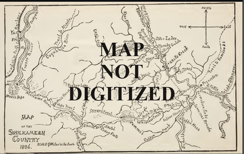
Topographical Map of Part of the Similkameen and Tulameen Valleys. Covers east parts of 92H007 and 010 – Olivine Mtn to Princeton, Whipsaw to Otter Lake.
Item Number:
92.034
Title: 92-1952-C-AIR INDEX
Date:
Radio Direction Finder, Air Index, 92H – Covers from Chilliwack to Hedley, International Boundary to Pennask Lake.
Item Number:
92.04
Title: 92-1982-E-T
Date:
Aerial Photo of Part of the Similkameen Valley. Covers parts of 92H002 and 92H007 – Placer Creek north to Bromley Creek along Highway 3. Note stuck to back reads: Photo from Beale Collection Copper Mtn Mine??
Item Number:
92H002.001
Title: 92H002-1923-F-T
Date:
Entitled “Topographical Map of Part of the Similkameen Valley – Headwaters Section”. – Three Brothers Mountain to Placer Mountain – Manning Park SE
Item Number:
94A005.001
Title: 94A005-1957-D-T
Date:
Ground Birch, Peace River area, First Edition provisional map.
