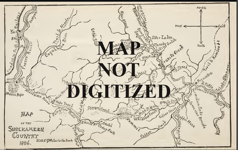
Hope area. Part of complete set: 336745A 336746B 336747C 336748D 336749E 336750F 336751G 336752H 336753I 336454J 336755K 336756L 336757M __Received by Princeton Government Agent Aug. 23, 1990
Princeton area. Part of complete set: 336745A 336746B 336747C 336748D 336749E 336750F 336751G 336752H 336753I 336454J 336755K 336756L 336757M __Received by Princeton Government Agent Aug. 23, 1990
Insets. Part of complete set: 336745A 336746B 336747C 336748D 336749E 336750F 336751G 336752H 336753I 336454J 336755K 336756L 336757M __Received by Princeton Government Agent Aug. 23, 1990
Title: Preliminary Map No. 64
Gold and Gold-Bearings Deposits in BC – 2 copies
Producers and Potential Producers Mineral and Coal
Title: 82-NO DATE-E-RM
Border to Penticton, Ashnola to e. of Osoyoos – covers 82H 03, 04, 05 and 06. – Lots and S.L.
Title: 82-1895-E-RM
Map of Southern Portion of East and West Kootenay Districts with inset of Wild Horse Creek (Fort Steele area).
Title: 82-1897-D-LA
Map of Portion of Osoyoos District B.C. – Border to Kelowna, Osoyoos to Christina Lake – shows lots.
Title: 82-1930-C-LA
Covers 82E012 and 013, Penticton to Wilson Landing (Okanagan Lake) – shows lots and S.L.
Title: 82E04W-NODATE-E-RM
Ashnola to Cawston and International Boundary to Keremeos – shows Game Management, grazing and ranches. Appears to be part of a set designed to be hung.
Title: 82E05/04-1934-F-MC
Brent Mtn south to Cawston, Nickel Plate to Yellow Lake – part of 82E05 and north part of 82E04.
Title: 82E012-NODATE-D-LA
Lots in area of Trout Creek/Garnet Lake/Shingle Creek/Faulder.
