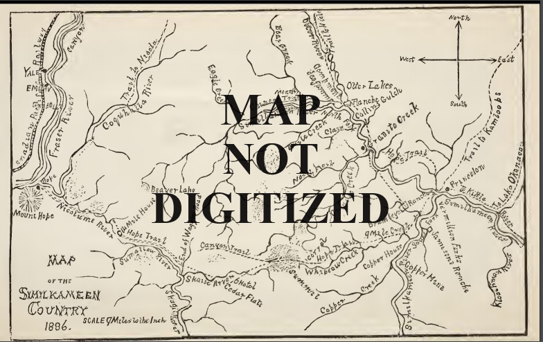
Title: 92-1917-B-CM
Map of Princeton area – covers part of 92007 and 008. Similar to part of 92.017.
Title: 92-1917-B-CM
Map of Princeton District – covers part of 9207, 08, 09 and 10. Copy made by Frank Bailey & Co., Similkameen Lands and Mines, Princeton Heights Town Lots for sale.
Title: 92-NODATE-D-CM
Map of Princeton District – covers part of 9207, 08, 09 and 10. Sunday Creek to Allison Lake – shows lots.
Title: 92-NODATE-E-LA
Covers parts of 92H 010 & 015. From Otter Creek to Spearing Creek. Shows lots.
Title: 92-1914-E-LA
New Westminster and Yale. Covers Vancouver to Hedley and International Boundary to Spences Bridge. Shows lots.
Title: 92-1859-D-T
Location of camps referred to by Palmer. Photocopy. Covers Lake Harrison to Osoyoos, northern Washington state to Kamloops.
Title: 92-NODATE-B-RM
Princeton and District Chamber of Commerce Fishing Map – Lakes south of Princeton north to Kane Lakes.
Title: 92-NODATE-B-HWY
Hudson’s Bay Company (1849) Heritage Trail from near Hope to Tulameen.
Title: 92-1948-D-RM
Border to Aspen Grove, Manning Park to Stemwinder – covers parts of 92H 01, 02, 07, 08, 09, 10, 15 and 16 – inc. timber licenses.
Title: 92-1943-E-RM
Border to Blakeburn, Manning Park to Ashnola – covers 92H 01, 02, 07 and 08
Title: 92-1954-F-RM
6C – Lots and Reserves – Border to Blakeburn, Manning Park to Ashnola – covers 92H 01, 02, 07 and 08
Title: 92-1954-F-RM
6B – Lots and Reserves – Tulameen to Summerland and Jura to Pennask Lake – covers 92H 09, 10,15 and 16. Same as 92H.043.
Title: 92H-NODATE-D-HWY
Roads, Railroads and Trails. Hope – Ashnola. International Boundary to Otter Lake.
