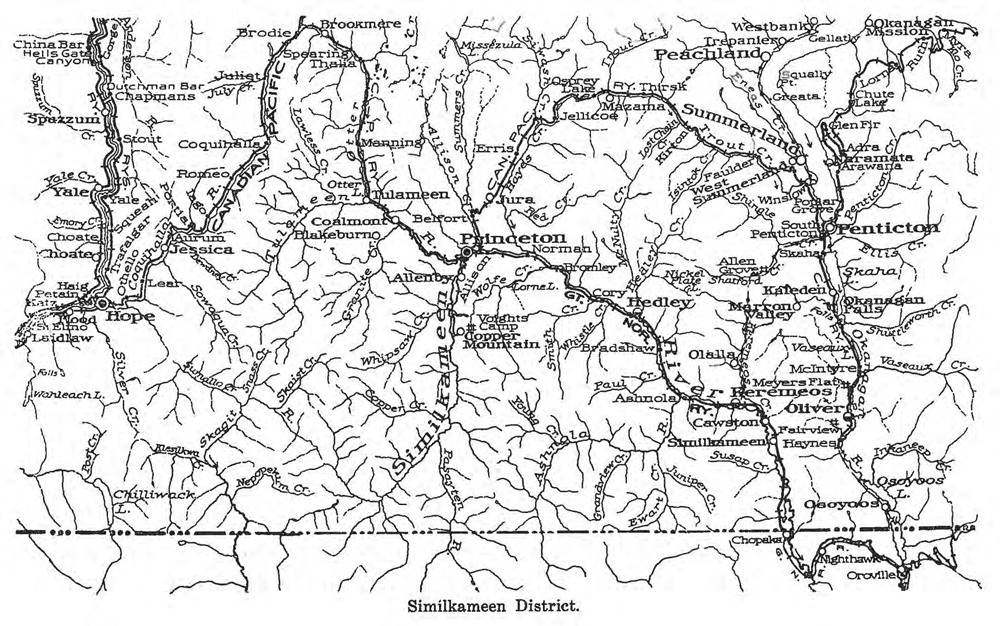
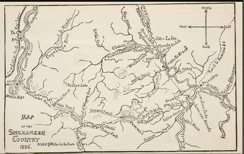
This is an index of the maps within our holdings. Very few are digitized at this time, so it is really just a list. Any links to external sources will be found under the LINKS tab. Our numbering system attempts to conform with the Government of Canada’s NTS system where possible. Some items are identified according to the BC Provincial Government’s BCGS system while others are non standard because of the source. A quick guide to the NTS and BCGS mapping systems can be found here. More notes on the Museum’s Classification System can be found here.
To help cross reference the museum’s maps or to look for an specific area to see if we have a map of that area, these two websites will help. BC Geographical Names and GeoGratis.

